Calas de Conil Trail
General information
This trail is 2.1 km long, takes about 45 minutes and is of low difficulty. It connects the pine forest area above the fishing port with the Fuente del Gallo housing development.
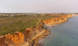
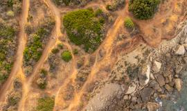
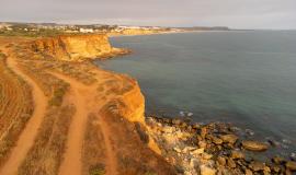
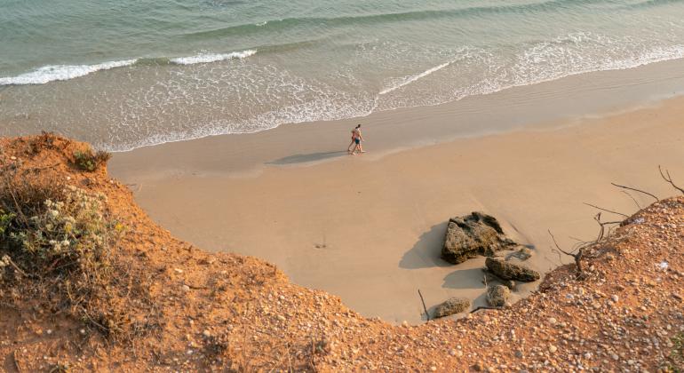
The route starts in the coastal pine forest of Roche, at the top of the cliffs of the fishing port, and along the way you will find beautiful coves such as Cala del Aceite, Melchor, de los Pitones or Puntalejo. This area is of great scenic beauty, formed by a reddish-coloured banded cliff, on which the characteristic vegetation grows, such as pine trees and Mediterranean scrubland. Due to erosion, at the foot of the cliff you can see some large rocks that separate these coves of golden sands. The path offers beautiful views of all the coves of Roche, the lighthouse and the fishing port.
The trail begins near the Port of Conil. It can be accessed from the Roche urbanisation or from Conil de la Frontera via the CA-4202 (Espigón de Conil). The start of the route is located on the access road to the Cala del Aceite campsite, approximately 1 km from the port.


