El Colorado-Roche Trail
General information
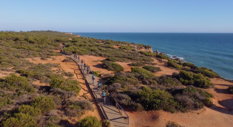
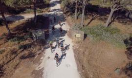
This trail of almost 18 kilometres can be covered on foot or by bicycle, and runs through the lands of Cabo Roche and El Colorado, including the Dehesa de Roche, a public forest declared a Site of Community Interest (SCI).
The starting point of the route is at the El Colorado football field, from where a forest track over a pine forest called Del Ingeniero leads to the forestry house. From there, take the Camino de los Majadales, which leads to the Colorado-Roche road, cross it and the path heads back into the pine forest until it reaches the Loma del Puerco. A large part of the route runs under the pine forest, where, in addition to walking under the canopy of the pines, we can find wild olive trees and cork oaks. The route continues through the Roche housing estate towards the Roche lighthouse, going down to the Port of Conil.
Once there, continue along the CA-4202 in the direction of Conil and after 1 km. leave it to take the Carril del Pilahito. This leads to a road that goes past the Roche campsite to the CA-3208. Continuing on, we reach the Carril La Pinaleta Boquilla, which takes us back to the starting point.
The starting point of the route is at the El Colorado football pitch.


