Dehesa de Roche Trail
General information
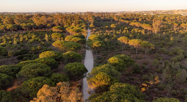
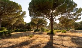
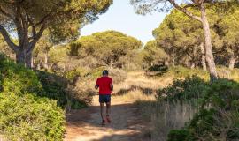
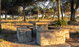
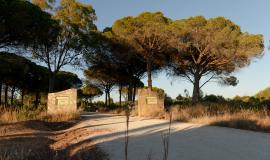
The route through the Dehesa de Roche starts at the Mirador de los Enebros and ends at the Área Recreativa Roche. It is a linear path of 5.8km, of low difficulty and can be done on foot in approximately two hours. The route begins by crossing an ecosystem of coastal cliffs made up of junipers, followed by maritime junipers. Shortly after, the path continues through a pine forest where the predominant species is the stone pine, repopulated in 1860, where you walk for about 5 km until you reach El Colorado, which belongs to Conil de la Frontera. Afterwards, you continue through the pine forest to the Roche Recreational Area, where the route ends.
The path runs entirely through the Dehesa de Roche, a Site of Community Interest, where the vegetation belongs to the Mediterranean Thermal floor, with sandy and/or loamy soils, developed on various rocks or unconsolidated sands. Along the route, you can make out pine groves, among a wide variety of plant species: fan palms, mastic trees, gorse, cistus, wild olive trees, kermes oaks, myrtle, heather, butcher's broom and various species of rockrose.
The start of the route is located on the road linking La Barrosa (Chiclana de la Frontera) with Roche (Conil de la Frontera). It is accessed from exit 15 of the Costa de la Luz motorway (A-48).


