Conil-Trafalgar Trail
General information
The Conil - Cabo de Trafalgar Route has a linear route of 11 km, with an approximate duration of 3 hours on foot and a low difficulty.
It starts at the bridge that crosses the Salado River, from Los Bateles Beach towards Castilnovo Beach, and continues through El Palmar, Zahora and ends at Cape Trafalgar.
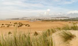
The Castilnovo meadow, between the Río Salado and the Río Conilete, until reaching El Palmar, encompasses various ecosystems. We find estuaries whose morphology has changed over time, marshes associated with them, white sandy beaches, dune ridges, flood zones and endless grasslands. Of these, the dune cordon stands out, formed by the barron, a typical Atlantic plant that is capable of fixing the dunes, making it possible for other plants to colonise them.
Once you cross the river Conilete, you will find the Palmer beach, which belongs to the municipality of Vejer, and which also has the blue flag for its quality and services.
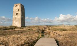
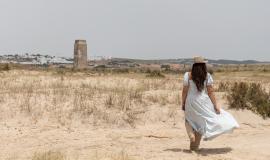
The path continues along Zahora beach, Trafalgar cove and Marisucia beach. The whole route is joined by a sandy path that connects several defensive towers from the 13th century that Juan Alonso Pérez de Guzmán "El Bueno" ordered to be built and where you can enjoy a beautiful panoramic view.
The famous Battle of Trafalgar in 1805, which pitted the British fleet against the combined Franco-Spanish fleet, took place very close to Marisucia Beach.
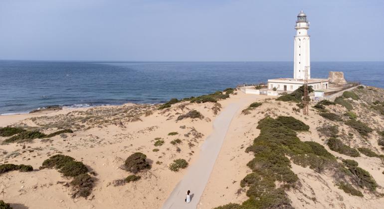
The route ends at the natural monument of the Trafalgar Tombolo. This has a walkway from where you can see dune flora and spot birds as they pass through the Strait of Gibraltar on their way to Africa.
The itinerary starts in Conil de la Frontera.


